Mar 13, 2026
Developer Tools
Gallery
About
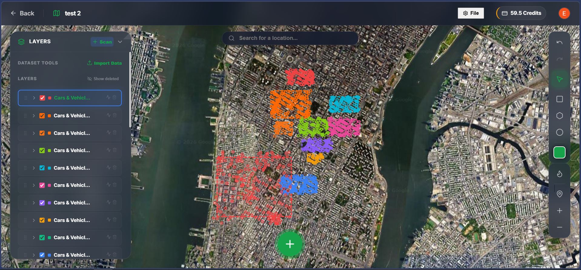
I built a browser-based tool that uses Vision-Language Models (VLMs) to detect objects in satellite imagery via natural language prompts. Draw a polygon on the map, type what you want to find (e.g., "swimming pools," "oil tanks," "solar panels"), and the system scans tile-by-tile, projecting bounding boxes back onto the globe as GeoJSON.The pipeline: pick zoom level + prompt → slice map into mercantile tiles → feed each tile + prompt to VLM → create bounding boxes → project to WGS84 coordinates → render on map.No login required for the demo. Works well for distinct structures zero-shot; struggles with dense/occluded objects where narrow YOLO models still win.
Comments (0)
No comments yet. Be the first to comment!