 ComingUp

Gallery
About
Global Maritime Chokepoints is an interactive map that identifies and provides information on narrow shipping lanes and strategic maritime passages around the world. It highlights over 30 critical chokepoints, including straits, canals, and channels, that are vital to international trade and navigation. The map offers detailed descriptions, geographical data, and historical context for each location.
Comments (2)
data labels overlap at default zoom, makes it unreadable
Description cuts off mid-sentence, which doesn't inspire much confidence in the data.
Related Products
Free Currency Converter API

Limestone Digital
AI-Powered Software Development, Engineering Team Augmentation,
ChangeSpec
Free Mermaid Live Editor & Diagram Maker
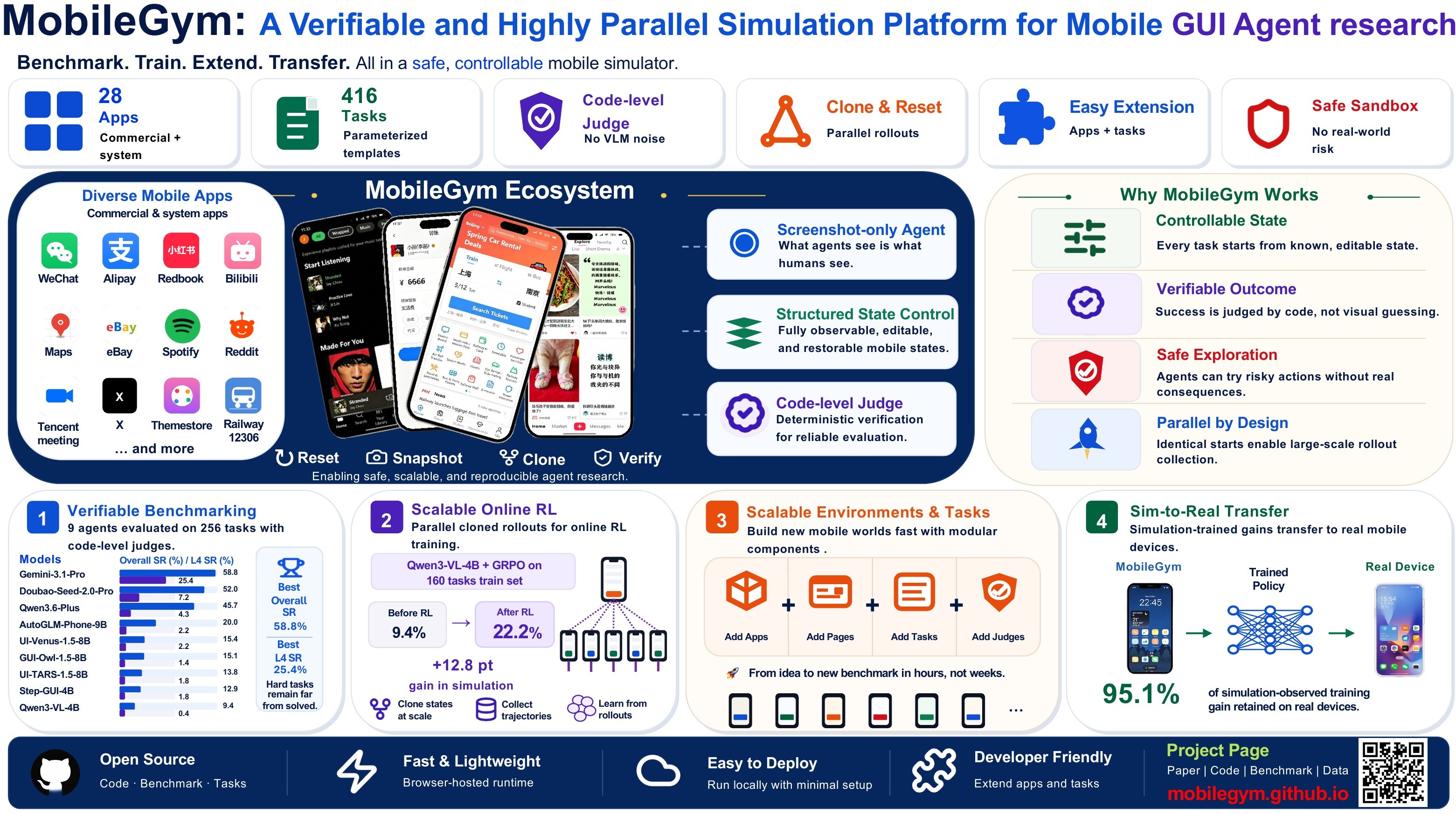
MobileGym: A Verifiable and Highly Parallel Simulation Platform for Mobile GUI A

Universal Data Workbench
A thorough tool for cleaning, validating, and converting JSON, CSV, and more.